
Eugene Previous Residents by Record Era
A sound Eugene address history changes tools as it moves backward. The modern deed image route is not the same as the older paper, microfilm, and microfiche trail. Begin with the best current parcel identifier, then retain the legal description and recorded document references as each earlier source is opened. The table separates documented access periods from unverified claims about a complete list of past households. Ownership evidence and household evidence answer different questions, so each needs an independent check.
| Source | Years It Covers | Where Held | What It Shows |
|---|---|---|---|
| RLID deed index and images | Index is current and updated nightly; images typically 1994-forward | RLID subscription and Lane County Deeds & Records | Grantor, grantee, type, date, document number, and image when available. |
| Deeds & Records index binders | 1980-1998 | 125 E. 8th Ave. public research library | Grantor and grantee bridge between the typical online-image era and older records. |
| County archive microfiche | 1971-1997 | State inventory and county archival access | Earlier party index and recorded-book references. |
| Grantor and grantee microfilm | 1902-1970; some sets are incomplete | State and county archive inventory | Historic party and title leads that must be matched to the legal description. |
| Deed books | 1855-1952 on described archive microfilm; selected volumes from 1855 onward | State Archives and Lane archive locations | Recorded deed and legal-description chain. |
| City permit records | June 1998-current online | Eugene Planning and Development Department | Project, inspection, and certificate timing evidence, not a household list. |
| City and reverse directories | Exact Eugene holdings years need library confirmation | Eugene Public Library catalog and reference service | A particular volume may connect an address and an alphabetical listing. |
| Eugene Sanborn maps | 1902 online; 1925-1949 in Museum inventory | Library of Congress and LCHM | Structure and block context at the map date, not a resident name. |
For a recent transfer, begin with the recorded document trail. For a pre-digital period, take the parcel details to the research library or archives instead of treating a missing online image as the end of the search. For a household question, use the year-specific directory and census route after the parcel and address have been stabilized.
Note: The era boundaries identify access methods, not the date a person arrived, departed, inherited, or transferred a property.
Eugene Previous Residents Start With a Tax Lot
The most reliable beginning is an address-to-parcel conversion. Lane County Easy Property Information Lookup accepts a street address or a 13-digit map and tax-lot number, then links to tax-account data, maps, permits, sales, jurisdictions, and nearby-property context. The free Assessment & Taxation Property Information Search instead accepts one search mode at a time: Account Number, Site Address, or Map & Taxlot. Neither basic form is an owner-name search.
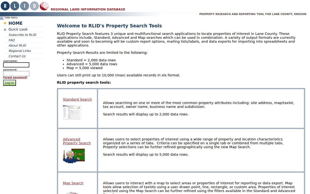
RLID Property Search documents Standard, Advanced, and Map Search paths. Its owner-name and broader map-selection options sit behind the subscription/login boundary. A free address search is still enough to preserve a site address, tax account, map/taxlot, and the legal-description trail required for earlier deeds.
Keep the site address separate from any tax mailing address. A tax mailing address can belong to a trustee, agent, organization, post-office box, or another property. It does not establish who occupied the parcel.
Lane County Deed Chain for Eugene Past Residents
A recorded deed tracks a transaction and title path, not every person who lived at the address. It becomes useful for previous-residents research when each document is matched by legal description, lot or block, map/taxlot, and date. In a deed, the grantor is the party conveying an interest and the grantee is the party receiving it. Those names provide the route to the earlier transaction, but a common name alone is not enough to prove a continuous chain.
- Use the County address or parcel tool to write down the map/taxlot, account, legal description, current listed owner if displayed, and the current deed reference.
- Search the listed owner as a grantee in the RLID Deeds & Records search, narrowing by year, instrument type, document number, or map/taxlot where available.
- Record the acquisition document's grantor, grantee, recording date, document number, and legal description. The seller or other grantor becomes the next party to search as a grantee.
- Repeat the same comparison backward, stopping whenever the legal description changes, a parcel is subdivided, or the document is not the expected transfer.
- When the image period ends, take the party names and document details to Deeds & Records or use the State Archives era inventory to locate the correct binder, microfiche, microfilm, or deed book.
- Grantor and grantee
- Respectively, the party conveying an interest and the party receiving it in a recorded document. Search each role separately.
- Chain of title
- The sequence of recorded transactions linked by the same land description, not merely a list of similar names.
- Legal description
- The recorded land identifier, such as a lot and block or another parcel description. It is more stable than a street number when an address changes.
Eugene Previous Residents Beyond Online Images
Lane County Deeds & Records maintains a public research library at 125 E. 8th Ave. in Eugene. Both the counter and the library are open weekdays from 9 a.m. to noon and 1 to 4 p.m. For a document not online, call 541-682-3654 to ask about a copy by email or mail and request a price quote. That is the documented fallback when a modern RLID search has an index entry but no image, or when an earlier record requires books or microfilm.
The Oregon State Archives Lane County historical inventory identifies historical deed books, indexes, court materials, naturalization records, maps, and repository locations. It turns an older document number, party name, or book reference into an actionable archive question. If the requested record belongs to another custodian, use the county's routing guidance rather than sending a broad request to the City Recorder.
Note: The published County page says copies are available for a small fee, but it does not publish a universal research-copy price.
Eugene Past Residents Through Verified Directories
A deed chain can identify recorded parties, but it cannot by itself establish the members of a past household. For the household layer, ask Eugene Public Library reference staff to verify a city or reverse directory volume for the relevant year. The public library has not published a complete, static year-by-year local directory run. Confirm the title page, publisher, geographic coverage, abbreviation key, and whether the edition contains a criss-cross section before treating it as an address-to-name source.
Eugene Public Library's Info Hub is the library entry point for research databases, with most subscription resources available on Info Hub computers without a card. Its reference service and catalog are the proper channels for a title or call-number pull.
Pair a confirmed directory year with a federal census release and a dated newspaper or probate lead. The directory can show who was listed at an address in a particular edition, while census and court or estate records can clarify a family or time period. The historical collection details are available in the Eugene city directories collection.
Note: A directory absence is only an absence from that edition, not proof that a person never lived at the address.
Eugene Maps and Permits Date a Place
Maps and permits date a physical place, not a household. The Library of Congress 1902 Eugene Sanborn map is a public-domain map source. The Lane historical inventory identifies Museum-held Eugene insurance maps for 1925 through 1949. Use either alongside the directory street wording, deed legal description, or plat to test the block and structure context at a particular date.
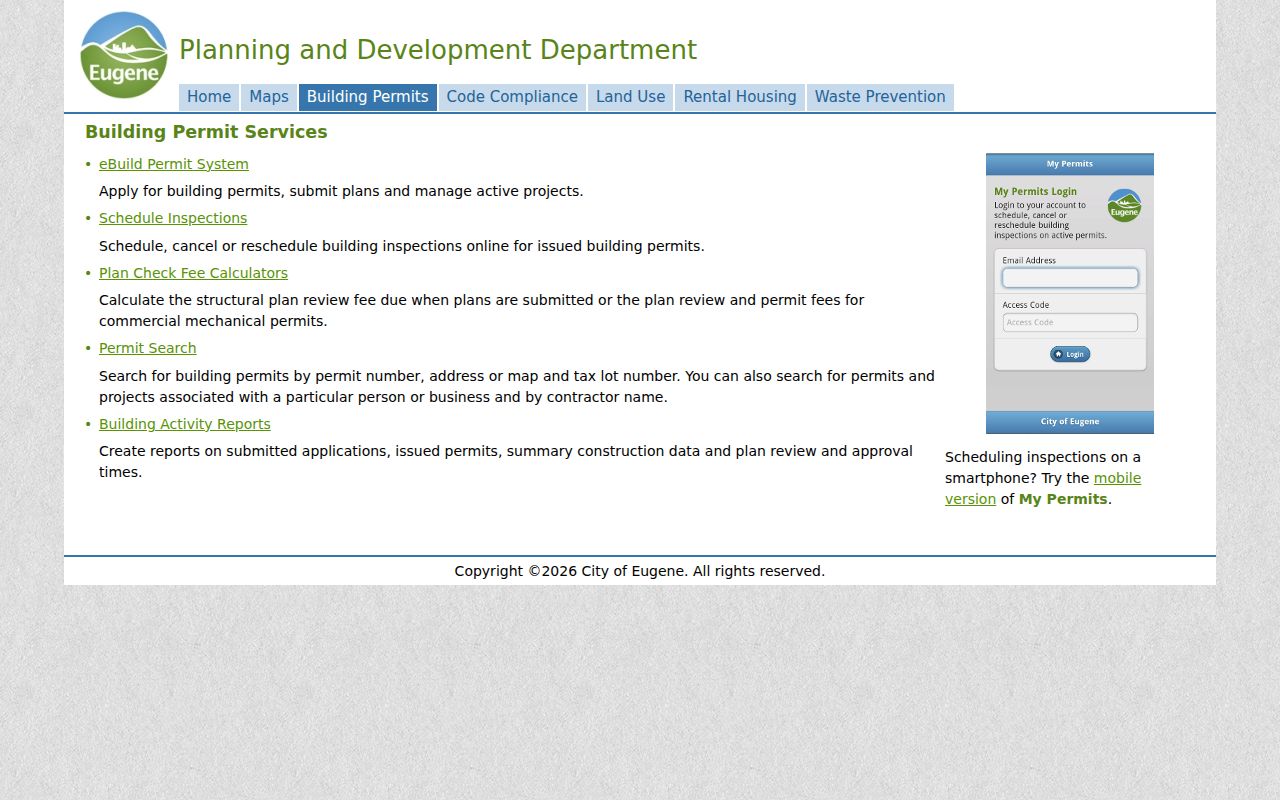
For the modern layer, the Eugene Building Permit Services search accepts permit number, address, map and tax lot, person or business, and contractor name. Its online permit, inspection, and certificate records run from June 1998 to current. Pre-June-1998 information needs a tailored Building & Permits public-records request for each address; the City estimates up to 10 business days and possible fees for that channel.
The City permit-search page shows the address and map/tax-lot routes available for an Eugene address-history check.
Read the permit date, type, address, map/taxlot, and status separately. A permit can show when public work was requested or inspected, but it does not prove that an applicant or contractor lived there.
Address Changes Affect Eugene Previous Residents
It is a myth that today's street number can simply be placed into every older record system. Eugene assigns and maintains addresses in both the City and the Eugene Urban Growth Boundary, may require an address change when necessary, and applies unit and ADU assignment rules. An old directory, deed, permit, map, and delivery-style address can therefore differ without any one of them being a mistake.
Preserve the historic street wording and number exactly. Then compare the site address, tax mailing address, legal description, map/taxlot, subdivision or plat, and recorded document sequence. Eugene's Survey Location Books retain historic street and alley centerline locations; since 2010, new centerline references are filed with Lane County Surveyor surveys. This is the local bridge when a direct modern-address search fails.
Closing a Eugene Past Residents Trail
When a directory or deed trail ends, look for a dated endpoint rather than guessing. A Lane County probate docket may identify an estate representative, and a recorded conveyance can show a later property transfer. Historic newspaper material can supply an obituary lead. Modern vital certificates have eligibility and time restrictions, so an apparent family connection does not create open access to a certificate. The correct follow-up is the appropriate court, archive, or vital-record custodian.
Lane County History Museum research services are a strong local fallback for photographs, clipping files, family papers, maps, and civic or school material. The archive is closed-stack. Submit an online request or email research@lchm.org, then staff can assess whether an appointment, scan, or photocopy is available.
State the address or intersection, surname variants, approximate years, and requested source type. That keeps a house-history inquiry focused on material the Museum can actually search.