
Walk Eugene Streets by Address
An Eugene street search starts with property geography, not a public roster. The County address tools can connect a site to a tax lot, tax account, permits, sales, maps, and jurisdiction context. The recorded deed index can then identify the parties to a transaction. A reverse or criss-cross directory may add a historic street-number listing once a real local volume is inspected. Each layer answers a narrower question: parcel location, ownership-related record, transaction history, public project, or historic listing.
- Enter the street address in Lane Easy Property Lookup. If needed, use its map and tax lot option, then save the original address and returned identifiers.
- Open linked account, tax map, property, permit, sale, and jurisdiction results. Keep the site address separate from any tax mailing address.
- Use City Property Explorer or a County map to search the address or tax lot, zoom to the subject parcel, and inspect map layers for City limits and UGB context.
- Search the recorded-document trail by the owner, document number, year, or legal description. Match the legal description before calling it the same property.
- For an earlier listing, ask Eugene Public Library for a dated reverse or criss-cross volume and inspect its title and abbreviation pages.
Note: An address trail can show a parcel or recorded relationship, but it does not identify everyone connected with a street number.
Eugene Street Directory Parcel Fields
The free Lane County Assessment & Taxation Property Information Search gives the Eugene street directory its basic address route. It requires one search mode and at least one parameter. The three modes are Account Number, Site Address, and Map & Taxlot. The form links to tax statements, tax maps, and commercial appraisal-card access. It does not expose owner-name searching on the basic public form. Owner-name work belongs to the subscribed RLID Standard Search, so a free street search should start with the address or a known County identifier.
Lane County’s A&T Property Information Search shows the exact public fields used for an Eugene address-to-parcel lookup.
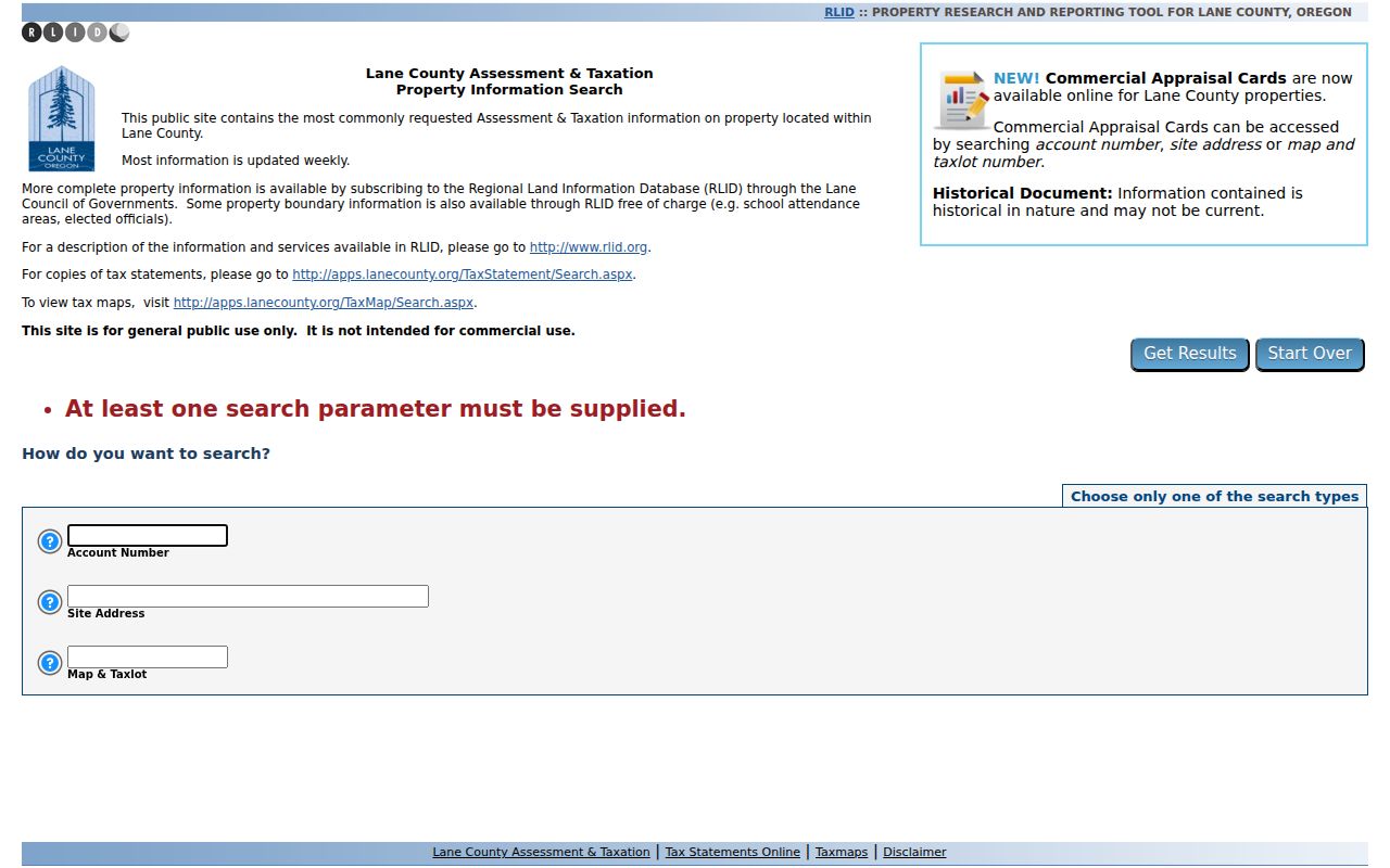
After a record opens, preserve field labels rather than turning an unlabeled value into a conclusion. Assessment data are updated weekly, and a public parcel record is about the tax account and parcel, not a current household list.
| Public field | Format | Street-search use |
|---|---|---|
| Account Number | Text | Opens a known County tax account |
| Site Address | Text | Finds the parcel’s physical location |
| Map & Taxlot | Composite text | Uses the County parcel identifier |
Eugene Street Directory Map Context
Lane Easy Property Lookup is the free bridge from an Eugene street address to map and agency context. It accepts Street Address or a 13-digit Map and Tax Lot Number. Its result areas link Taxes, Permits, Sales and Property Data, and add planning, zoning, floodplain, wetlands, airport, and coastal layers. Those links help establish what record system may hold an address-based file. They do not turn a map into a list of people on the block.
Lane Easy Property Information Lookup shows its address and tax-lot gateway for Eugene property context.
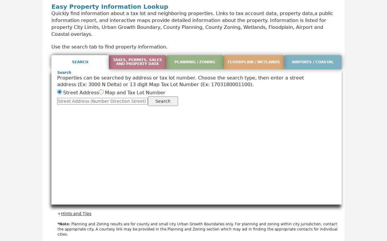
For nearby parcels, use the returned context or City Property Explorer’s address/taxlot search, zoom, and click-parcel instructions. City Property Explorer also shows City limits, UGB, tax lots, building footprints, and property reports, while warning that mapped footprints and locations are approximate rather than survey-level lines.
- Situs address
- The physical location of a parcel in a street-number system.
- Tax mailing address
- The address used for tax correspondence, which can differ from the situs.
- Map & taxlot
- The County parcel identifier used across assessment and map tools.
- Legal description
- The recorded lot, block, subdivision, or other land description used to match a deed to property.
Eugene Deed Chain Along Streets
Lane County’s deed trail is a transaction history, not an occupancy list. RLID Deeds & Records documents searches by grantor or grantee name, instrument or document number, instrument type and year, and map/taxlot where assigned. A current acquisition document identifies a grantee and a seller or grantor. To move backward, search that earlier seller as a grantee, then keep the legal description, lot/block, or map/taxlot consistent. Many recorded documents have no map/taxlot, so a no-result under that field is not a no-record conclusion.
RLID Property Search is the subscribed Lane County path for its Standard, Advanced, and map property tools.
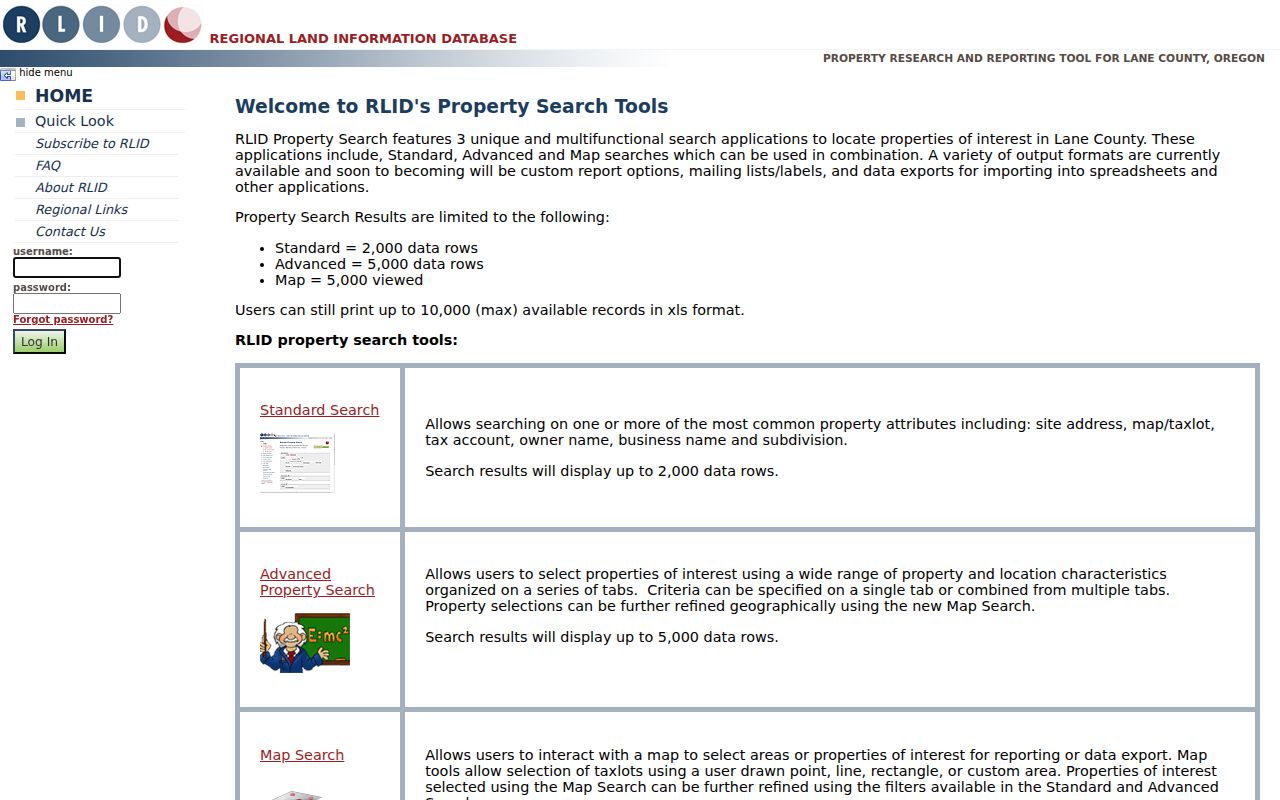
RLID’s index updates nightly and images are typically available from 1994 forward. For earlier materials, take party, document, book, and legal-description details to the Lane County Deeds & Records public research library at 125 E. 8th Ave. It is open weekdays from 9 a.m. to noon and 1 p.m. to 4 p.m.; the office can quote a copy price for email or mail requests at 541-682-3654.
Note: A deed can establish a recorded transaction, not a claim that every named party lived at the street address.
Eugene Permit Records by Address
Eugene Building & Permit Services is an address-keyed project layer. The public search documents Permit Number, Address, Map and Tax Lot Number, person or business, and Contractor Name modes. A result may associate a project with an applicant or contractor, list dates and inspections, and point to public compliance material. It should be read as project evidence. An applicant or contractor association is not proof of ownership or present residence.
Eugene permit search provides the official address and map/taxlot routes for permit information. Permit, inspection, and certificate records are online from June 1998 to current. Pre-June 1998 information needs a tailored Building & Permits public-records request for each address. The City estimates up to 10 business days and possible fees for that route. Keep the permit date, type, address, map/taxlot, and status distinct.
Eugene Voter Records by Street
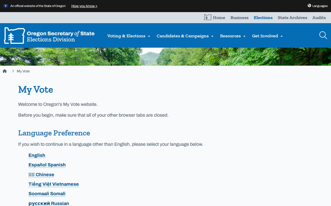
Oregon My Vote cannot browse an Eugene block or street. It is a self-service system for a voter’s own registration, update, ballot status, election-office contact, and ballot-drop information. The documented update path asks for the voter’s name and date of birth. A statewide or less-than-statewide voter list has a different statutory request path. It can include specified public elector fields, subject to exclusions and use rules. It should never be presented as a way to recreate protected address information.
Oregon My Vote is the official personal registration and ballot-status entry point.
Public voter-list fields can include name, residence or ballot-mailing address, party affiliation, birth year, precinct, participation, and current ballot status where law permits. Birth month and day, identification numbers, signatures, ballot choices, and protected or ACP records are excluded.
Oregon’s voter-list request gives the official electronic statewide and less-than-statewide request route.
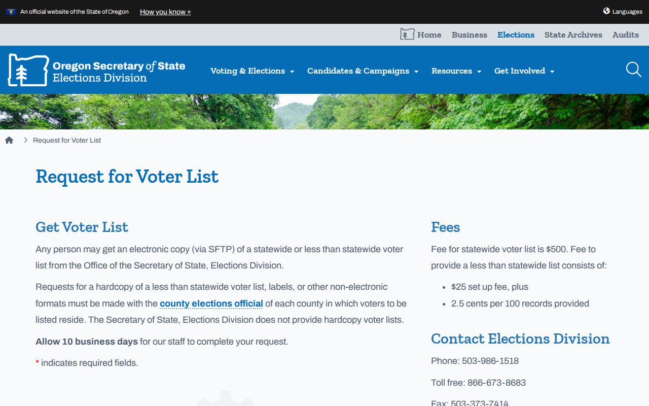
The Secretary of State allows 10 business days for electronic delivery and directs hard-copy, label, and other nonelectronic requests to the County elections official. ORS 247.955 restricts commercial use. A missing or protected entry is not evidence that a person is absent from Eugene.
Eugene Street Directory Record Layers
Address-keyed records in Eugene are strongest when chained carefully. The County account establishes the parcel, Easy Lookup supplies cross-agency context, deeds carry a legal-description transaction trail, and City permit material adds a dated public project layer. A historical criss-cross volume can then be checked for that edition’s street-number listing. Each source has a different keeper and a different access route, so a street name should not be used as a substitute for the actual parcel or document identifier.
| Address-keyed record | Keeper | What it can show | Access and limit |
|---|---|---|---|
| Property account and tax map | Lane County | Parcel, site, account, assessment trail | Free address/account/map-taxlot form; not owner-name browse |
| Easy Property Lookup | Lane County GIS | Taxlot, maps, permits, sales, jurisdiction context | Free address or taxlot entry; not a household list |
| Recorded instruments | Deeds & Records / RLID | Transaction parties, date, type, legal description | Images typically 1994 forward; older library and archive routes |
| City permits | Eugene PDD | Addressed project, inspections, public association | Online June 1998 to current; earlier tailored request |
| Reverse directory | Eugene Public Library | Historic street-number listing in a volume | Verify title, year, coverage, and access with staff |
For one current address, the street-level process stays here. Where the question shifts to one named person, use the resident lookup. Where it shifts to a historical collection, inspect the Eugene city-directory collections instead of assuming a complete local year run.
Eugene Historic Street Entries
Historic street research needs the actual published volume. Eugene Public Library’s public sources do not expose a verified, exhaustive shelf-by-year list for Polk, telephone, or reverse directories. Ask for catalog or reference help with “Eugene (Or.) directories,” “Eugene-Springfield city directory,” “Polk’s Eugene,” “telephone directory,” “criss-cross,” or “reverse directory.” Record the publisher, title, printed year, geographic coverage, alphabetical or reverse arrangement, call number, branch, and any access restriction.
A reverse directory may run from street number to a resident or business listing, but it can omit people and reflect only that edition’s coverage. Pair a verified directory entry with a deed, tax account, newspaper, census, or probate record. Preserve the historic street spelling and number. City Survey Location Books and recorded plats can help where present-day address labels do not match an older source.
Eugene Streets Across Jurisdictions
The Eugene street directory crosses several record geographies. The City assigns and maintains addresses in both the incorporated City and Eugene Urban Growth Boundary. River Road, Santa Clara, and Industrial Corridor land can be inside the UGB yet outside City limits. A Eugene mailing address or ZIP therefore does not settle which agency holds a permit, assessment, or land-use record. Use the parcel, City-limit layer, UGB layer, and the named custodian.
The City’s Addressing program explains that a physical address, taxlot, legal description, and tax mailing address are separate labels with separate jobs. Unit and ADU rules can add designations, and the City can require a change when necessary. For an older question, use the City’s Survey Location Books and Lane County Surveyor references rather than forcing a historical listing into today’s street format.
Eugene Street Directory Boundaries
No public Eugene street search identifies every occupant, delivery recipient, utility customer, DMV address, protected voter, or person connected with a parcel. A tax mailing address may be a trustee, agent, business, or another property. A parcel map establishes geography, not a household. A permit shows a public project relationship, not a biography. Protected voter records, Oregon Address Confidentiality Program participants, vital records, and confidential court files remain protected.
When an official portal fails, use the source’s documented fallback: County research-library help or a copy request for deeds, a focused City request for older permit material, a County Elections request under the statute, or a library volume and archive inquiry for history. Lane County’s August 2026 warning also makes a practical point: a real permit number does not authenticate a demand for money. Verify unusual communications through a known official office contact.
Note: Keep the search result, date, and custodian together so a street record can be confirmed without turning a limited field into a claim about a person.